Agriculture Monitoring Subscriptions
Crop health, irrigation, and damage documentation—RGB + NDVI/NDRE mapping, with change tracking and decision‑grade reports.
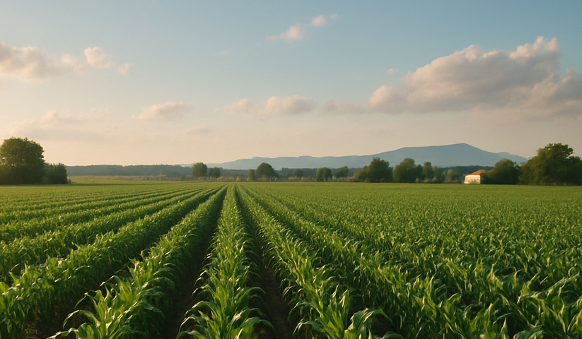
Overview
We fly, map, and hand you the answers: vigor indices, water stress, elevation/drainage, and actionable hotspot pins. Use it to time inputs, verify emergence, and prove storm damage—without hiking every acre.
Subscription Tiers — Acreage & Cadence
Essential — up to 160 acres · 1 pass/month
$349 / month
RGB orthomosaic
NDVI vigor map
Hotspot pins
- Field summary PDF with NDVI legend & acreage stats
- Web viewer link; GeoTIFF downloads on request
- Seasonal change chart (per field)
Standard — up to 320 acres · 2 passes/month
$649 / month
Adds NDRE (chlorophyll)
Elevation/Drainage model
Multi‑date change
- RGB, NDVI, NDRE mosaics with web viewer
- DSM‑based drainage direction & low‑spot heatmap
- CSV/SHP export of zones for variable‑rate trials
Pro — up to 640 acres · 4 passes/month
$1,149 / month
High‑cadence scouting
Storm damage runs
Prescription layers
- Weekly/bi‑weekly mapping during growth windows
- Targeted storm damage documentation set
- Shapefiles/GeoJSON zones for RX (seeding/fert/chem)
Extra acres: +$2/acre per pass beyond tier cap. Multi‑field portfolios quoted; pivots/big blocks supported.
What You Get
Deliverables
- RGB & NDVI/NDRE mosaics (web viewer + GeoTIFF)
- Hotspot pins (weeds/disease/stress) with GPS
- Elevation/Drainage surface, low‑spot overlays
- Change maps (emergence, canopy cover)
- PDF report per pass; season summary on request
Add‑Ons
- Emergence/stand counts — $95 per sample zone
- Weed/disease mapping (targeted) — $125 per pass
- Thermal irrigation leak scan — $95 per pivot/zone
- Ground photo/video scouting — $75 per pass
- Crop‑loss insurance packet (selects + PDF) — $145
- Rush flight window (12–24 hrs) — +20%
Straight Talk
Limits & Accuracy
- Imagery supports decisions; it’s not a lab test or licensed survey.
- Tall canopy & wind can limit under‑leaf visibility; we call it out.
- Flights subject to FAA airspace, local rules, and weather.
Coordination
- We coordinate gates/field access and avoid livestock/equipment.
- Geo‑fenced boundaries reduce processing time and cost.
- You get the truth—hotspots are flagged plainly with GPS.