Agriculture Management Services
High-Altitude Imaging LLC — Crop Health • Water Efficiency • Actionable Insights
OSHA 30 Certified
Part 107 Certified
Overview
We combine RTK-accurate drone mapping, thermal imaging, and analytics to help growers, ranchers, and land managers make timely, data-driven decisions.
Use Cases
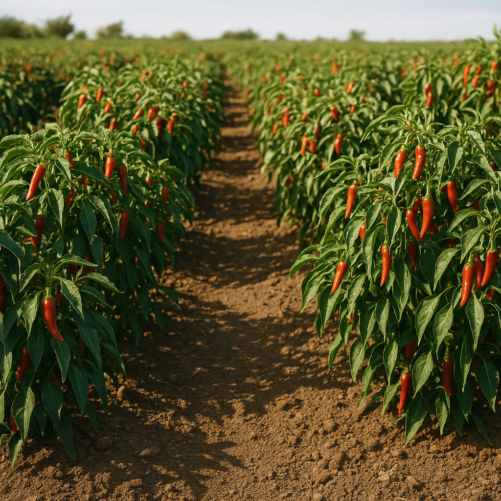
Crop Monitoring
- RGB imagery for overall crop condition
- Early stress detection & scouting targets
- Emergence & stand count snapshots
Irrigation & Water
- Thermal-based water distribution checks
- Leak & clog detection in pivots/lines
- Identify over- and under-watered zones
Nutrient & Pest Management
- Visual analysis to identify problem areas
- Spot signs of pest/disease pressure
- Tissue sampling guidance support
Soils & Terrain
- High-res elevation (DSM/DTM) for drainage
- Erosion & compaction indicators
- Tile & ditch planning support
Compliance & Insurance
- Storm, hail, frost damage assessment
- Documentation for claims & audits
- Field boundary & acreage verification
Ranching & Range
- Pasture vigor & stocking insight
- Tank/pond level monitoring
- Fence & infrastructure checks
Workflow
1) Plan
- Define goals (yield, water, inputs, compliance)
- Pick sensors: RGB • Thermal
- RTK/GCP plan for survey-grade accuracy
2) Capture
- Flight missions tailored to crop stage
- Consistent overlap for accurate mapping
- Thermal passes for irrigation checks
3) Process
- WebODM: orthos, DSM/DTM
- Radiometric correction of thermal data
- Point cloud & terrain for water flow
4) Analyze & Deliver
- Actionable PDF dashboards & shapefiles
- Interactive WebODM Viewer link
- Seasonal comparisons
Deliverables
- RGB orthomosaics (GeoTIFF)
- Thermal orthomosaics for irrigation QA
- DSM/DTM elevation & slope maps
- Shapefiles/GeoJSON for mapping software
- PDF reports with recommendations
- Seasonal trend comparisons