Insurance & Disaster Imaging Services
High-Altitude Imaging LLC — Rapid, defensible evidence for claims, CAT events, and recovery
OSHA 30 Certified
Part 107 Certified
Overview
We deliver time‑stamped aerial imagery, thermal diagnostics, and measurement‑ready maps to support carriers, adjusters, restoration contractors, and property owners. Our documentation improves accuracy, accelerates settlements, and reduces fraud and disputes.
What We Provide
- RTK orthomosaics (GeoTIFF) for measurements
- HDR photos & annotated condition sets
- Thermal scans for moisture & heat anomalies
- 3D models / point clouds on request
- Chain‑of‑custody evidence package
Who We Serve
- Insurance carriers & independent adjusters
- Public adjusters & appraisers
- Restoration / roofing / solar contractors
- Facility managers & REITs
- Municipal & utility responders
Turnaround & Access
- Rapid triage deliverables in 24–48 hrs
- Full claim packs in 2–5 days (scope‑dependent)
- Web viewer link + downloadable report set
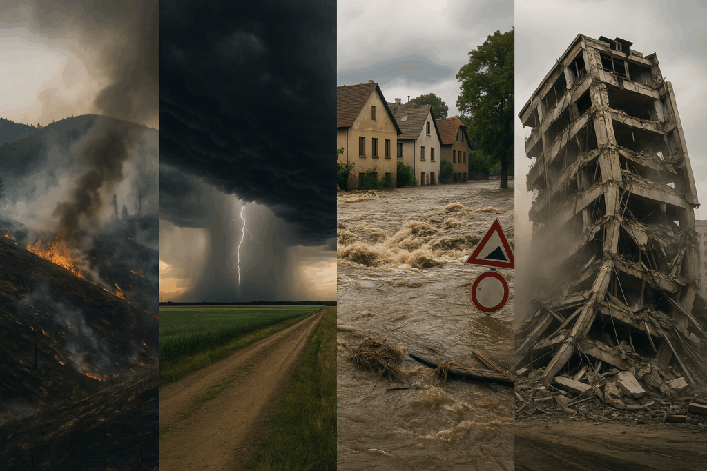
Use Cases
Hail / Wind / Tornado
- Granule loss, punctures, uplift & ridge damage
- Perimeter, flashing & penetration assessments
- Before/after comparisons and scope validation
Hurricane / Storm Surge / Flood
- Roof membrane compromise, debris mapping
- Structural, facade & site waterlines
- Access planning for remediation crews
Fire / Wildfire / Heat
- Thermal hotspots, heat plume pathways
- Smoke/soot exposure zones & rooftop equipment
- Inventory of damaged assets & utilities
Workflow
1) Mobilize & Plan
- Intake scope, site constraints, and safety plan
- Airspace & authorization (LAANC/FRIA as required)
- RTK/GCP strategy; liability & permissions
All flights conducted by OSHA‑trained, Part 107 pilots with written JSA and site safety briefing.
2) Capture
- Nadir + oblique HDR imagery for context
- Thermal passes for moisture/overheating
- Specialty detail: facades, penetrations, PV
3) Process
- WebODM: orthos, DSM/DTM, alignment & QC
- Measurement extraction & annotations
- Evidence pack w/ EXIF, timestamps, coordinates
4) Deliver
- PDF summary + detailed multi‑page report
- Web viewer link for stakeholders
- GIS/CAD exports (GeoTIFF, DXF) as needed
Disclaimer: We provide imaging and measurement documentation; we do not render engineering judgments or structural certifications.
Deliverables
Standard Set
- Orthomosaic (GeoTIFF) & site overview
- Annotated condition image set
- Measurement tables (areas, lengths, slopes)
- Time‑stamped metadata & flight log excerpt
Optional Add‑Ons
- Thermal moisture/heat anomaly layer
- 3D point cloud / mesh for complex scopes
- Change detection (pre/post) stack
- Rush delivery / CAT surge mobilization
Why High‑Altitude Imaging?
- Survey‑grade accuracy with RTK & GCP workflows
- Defensible evidence packages for adjusters & counsel
- Consistent documentation that reduces fraud & disputes
- OSHA 30 + Part 107 compliance and site safety
Get Started
Tell us your event type, site address, and deadlines. We’ll confirm airspace, provide a scope & quote, and mobilize accordingly.