Who We Serve
Serving Varied Industries
“See Smarter. Fix Faster.”
Residential
Providing residential homeowners with precise roof, structural, and property imaging using RTK drones, thermal sensors, and LiDAR technology.

Commercial
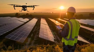
Offering commercial property owners and managers advanced aerial imaging solutions for building health assessments, solar viability, and structural monitoring.
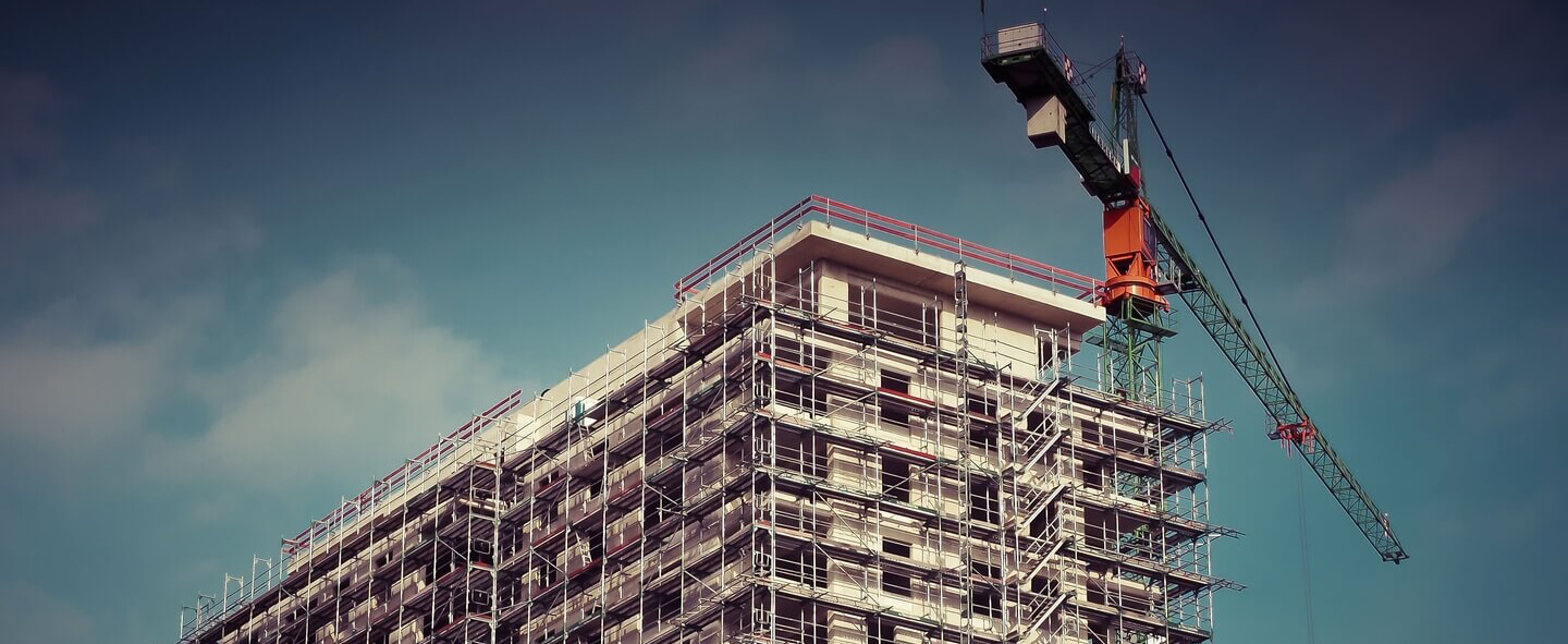
Construction
Supporting construction professionals with high-accuracy aerial imaging and LIDAR technology for pre-construction planning, progress monitoring, and post-build verification.
Services
Explore What We Offer
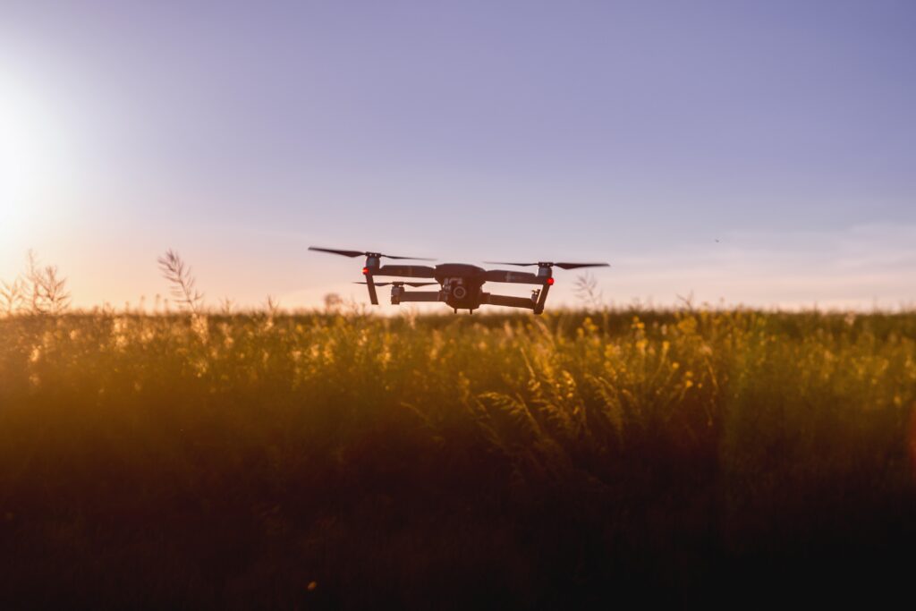
At High-Altitude Imaging, we bring precision, safety, and clarity to every angle of your operation.
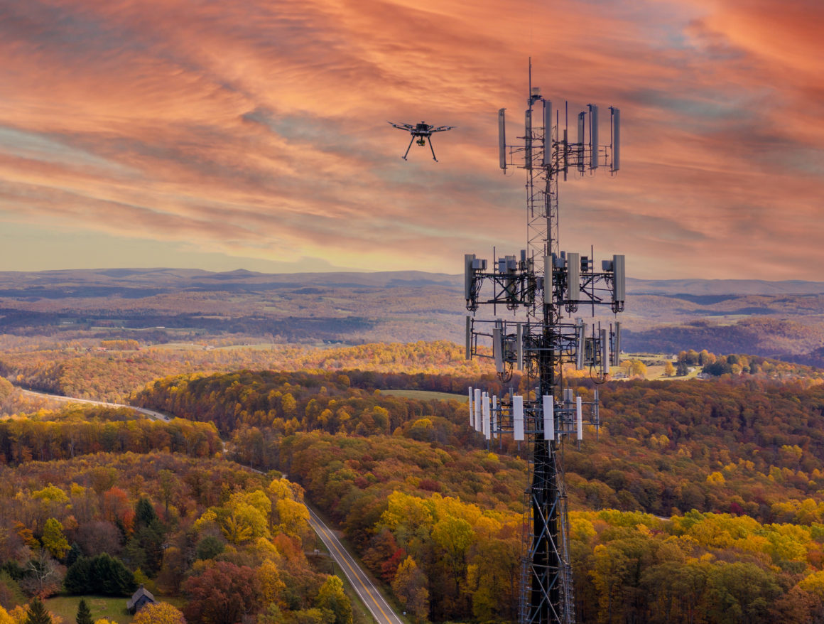
Our services span aerial imaging, thermal scans, RTK mapping, interactive floor planning, and photogrammetry reporting. We specialize in condition documentation, safety audits, infrastructure monitoring, and data-driven planning support.
We proudly serve a wide range of industries—from residential and commercial property management, to construction, agriculture, energy, healthcare, logistics, and emergency response.
Whether you’re staging a warehouse, assessing storm damage, planning a solar array, or documenting a disaster site, High-Altitude Imaging provides fast, professional insights with unmatched detail.
From the skies to the site—your property. Our precision.

Residential and Commercial
Ensure every move-in, move-out, and maintenance moment is backed by timestamped, high-resolution imagery and thermal scans. Avoid disputes, streamline claims, and preserve your asset’s value with every scan.
Agriculture
High-Altitude Imaging helps growers identify early-stage threats, fine-tune irrigation, and plan rotations with confidence using precision imaging tools.
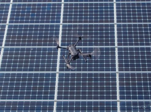
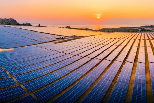
Roof and Solar
We combine roof geometry, irradiance potential, and surface conditions into one seamless deliverable—perfect for solar contractors, engineers, and project financiers.

Warehouse and Hospital
Our drone and ground-based imaging capture equipment placement, thermal anomalies, and spatial flow allow you to reduce hazards, improve efficiency, and prepare for audits without interrupting operations.
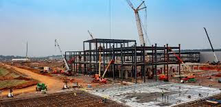
Construction
High-Altitude Imaging supports construction projects from site prep to final inspection—offering RTK-corrected maps, 3D models, and thermal scans to streamline planning, documentation, and stakeholder reporting.
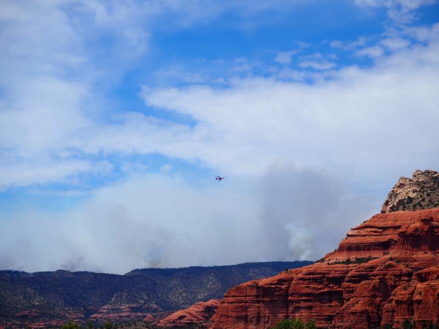
Insurance and Disaster
From pre-policy documentation to post-loss evaluations, we provide clear, annotated visuals that help insurance professionals validate claims, reduce fraud, and accelerate resolution.

Mapping
transforming raw imagery into accurate maps and 3D models providing real-world measurements, slope analysis, roof conditions, and thermal insights, drone mapping eliminates guesswork and reduces risks. Mapping allows contractors, property managers, and solar planners to plan faster, work safer, and cut costs, all while receiving a clear visual record of their assets

Thermal Imaging
detects heat signatures and temperature variations that expose hidden problems before they become costly failures. From identifying roof leaks, insulation gaps, and HVAC inefficiencies to analyzing solar panel performance, thermal imaging provides insights that traditional inspections often miss.
Photogrammetry
By processing overlapping drone images, it generates orthomosaics, 3D meshes, and point clouds that allow precise measurements of surfaces, structures, and landscapes. Photogrammetry enables accurate roof area calculations, slope analysis, and volume estimations without stepping on-site with manual tools.
About Us
Foundations of Excellence: Delve into Our Construction Story!
High-Altitude Imaging LLC, combines cutting-edge drone technology with advanced imaging tools to deliver high-precision roof and property documentation across residential, commercial, and construction sectors. Founded in the Greater Albuquerque area, our team is driven by a mission to make roof and site data safer, smarter, and more accessible.
High-Altitude Imaging LLC specializes in RTK-enabled drone imaging, Mapping, thermal inspection imaging, and LiDAR scanning, offering a complete suite of visual services tailored to solar planning, roof health evaluation, progress tracking, insurance reporting, and long-term asset management. Our non-invasive, aerial-first approach eliminates the risks and inefficiencies of traditional inspections while providing crystal-clear data to guide confident decision-making.
Whether you’re a homeowner preparing for solar installation, a facility manager assessing roof conditions, or a contractor seeking site validation, High-Altitude Imaging delivers clarity from above—in every frame, file, and report.
Frequently Asked Questions
What services do you provide?
We offer aerial imaging and documentation for residential, commercial, construction, insurance, and agriculture sectors. Our services include drone photography, thermal scanning, floor plans, 3D mapping, and more.
Are your drone operators certified?
Yes. All pilots are FAA Part 107 certified and trained in thermal, RTK, and photogrammetry operations.
How soon can you deliver reports?
We typically deliver within 2–3 business days. Emergency response is available within 24–48 hours for claims or post-disaster assessments.
Can I access maps or images online?
Yes. All deliverables are provided through secure cloud links, with formats compatible with GIS platforms and documentation systems.
Do you provide thermal imaging?
Yes. We offer thermal imaging for building reports, roof assessments, and search & rescue missions.
What regions do you serve?
We operate across New Mexico, including the Albuquerque metro area, and travel regionally for larger or contracted projects.
Ready to Build Your Vision? Contact Us Today!
Let us help you document, log, and assess your success.