
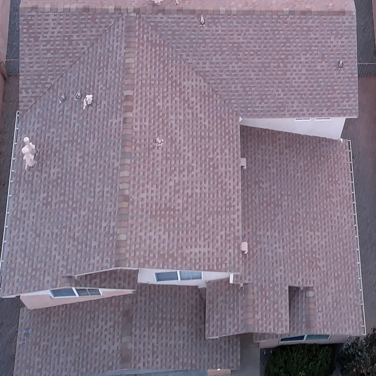
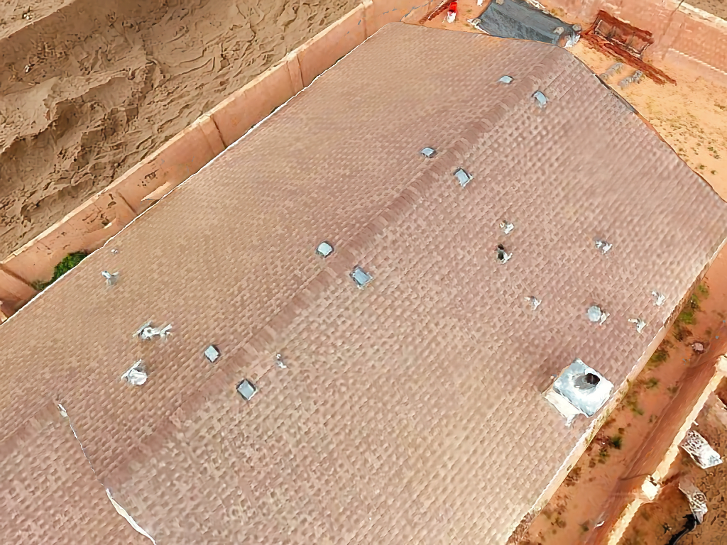
Description
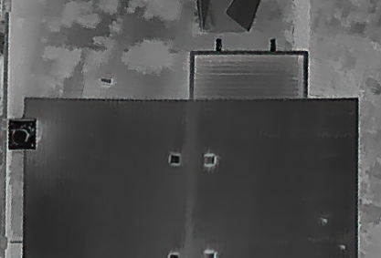
Flying at dawn/twilight with radiometrically calibrated thermal sensors, we deliver georeferenced thermal orthomosaics, hotspot/stress indices (e.g., CWSI), and actionable irrigation zones you can push to your VRI/field ops. Agricultural Field Thermal Mapping reveals irrigation inefficiencies and plant stress by measuring canopy temperature at scale—pinpointing clogged emitters, leaks, drought stress, compaction zones, and early disease pressure before it’s visible. Use it to prioritize scouting, adjust set times/flow rates, and protect yield while cutting water and energy spend. Deliverables: thermal + RGB maps, shapefiles/KML for equipment, a web viewer, and a concise PDF highlighting issues and fixes. Straight truth: results are strongest in open canopies with steady weather; reflective surfaces and midday heat shimmer reduce fidelity—so we schedule and calibrate accordingly.
Reviews
There are no reviews yet.