
Description
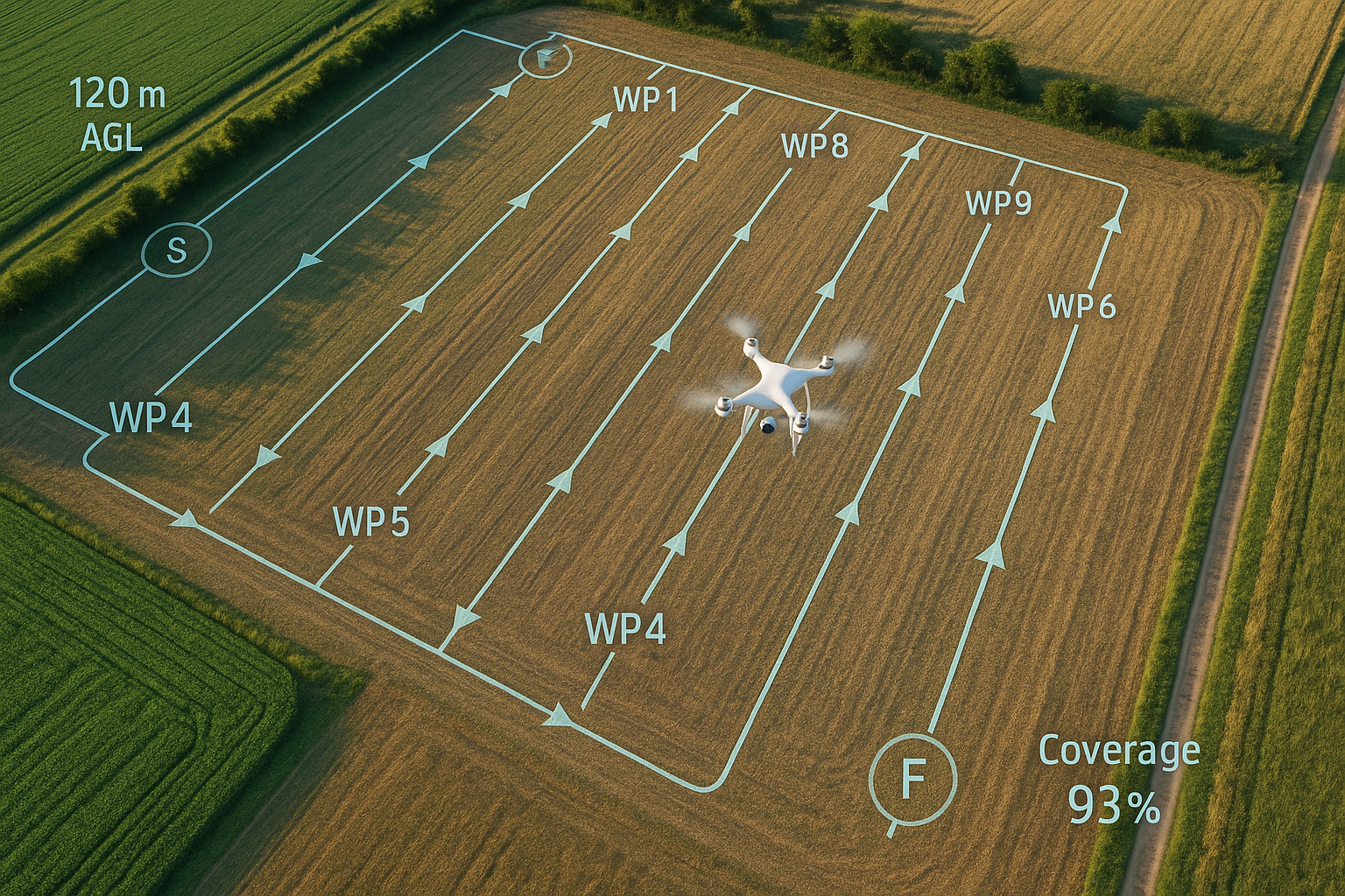
A Digital Surface Model (DSM) is a high-resolution, georeferenced elevation grid that captures the top of everything on site—ground, buildings, trees, stockpiles, and equipment. Built from RTK drone photogrammetry (and optionally LiDAR), it supports cut/fill and stockpile volumes, drainage/slope/aspect analysis, roof pitch/height checks, line-of-sight planning, and progress quantification. Deliverables typically include a DSM GeoTIFF, shaded relief (hillshade), contours, slope/aspect layers, and a shareable web viewer; expect centimeter-level relative precision on open, textured surfaces, with reduced fidelity under canopy, over water, or on highly reflective roofs—this is a planning/measurement product, not a legal survey.
Reviews
There are no reviews yet.